BlueSol Design PV software
BlueSol Design is a professional tool for the design of photovoltaic systems.
BlueSol Design is proposed as a product for professionals looking for a simple and comprehensive way to solve their design problems.
BlueSol Design simplifies the design of photovoltaic plants, assisting the user in all stages of design, starting with the dimensioning of the system to get to the realization of the documentation.
BlueSol Design supports the design and optimization, both technical and financial, of every type of photovoltaic system:
- Grid connected systems
- Stand-Alone systems
- Grid connected systems with AC-coupled battery storage
- Grid connected systems with DC-coupled battery storage
The pre-dimensioning wizard allows the rapid creation of the complete photovoltaic project through the guided definition of all its aspects:
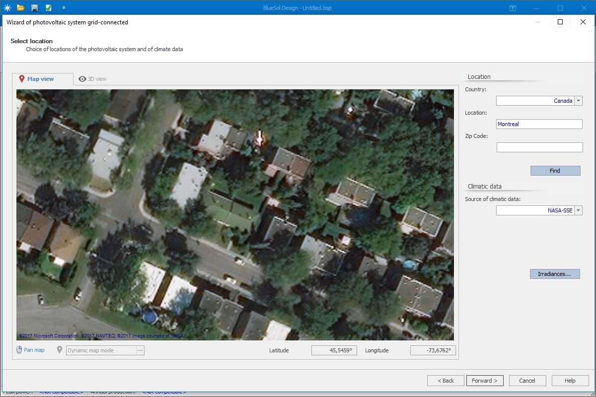
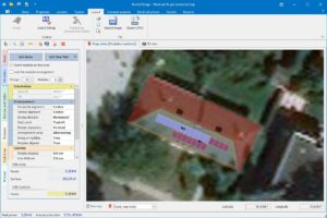
- Choice of location and interactive design on the map
- Automatic string insertion with optimal filling of areas
- Automatic insertion of inverters, panels, batteries and connecting cables
- Automatic pre-dimensioning of electrical components
The pre-dimensioning wizard produces a complete and verified project, which can then be modified in each part to obtain any possible configuration.
Other wizards allow for more in-depth configuration of the system:
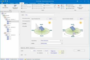
- Definition of the cables
- Dimensioning of the electrical components
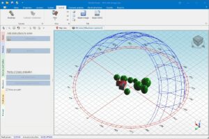
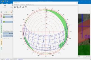
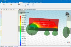
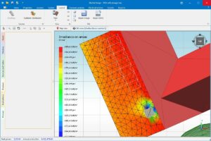
BlueSol Design simulates, via software, the behavior of the PV system in all its components. The schematic representation allows the designer to have a precise view of the operation.
BlueSol Design integrates a CAD system that automatically generates the single-line electrical diagram.
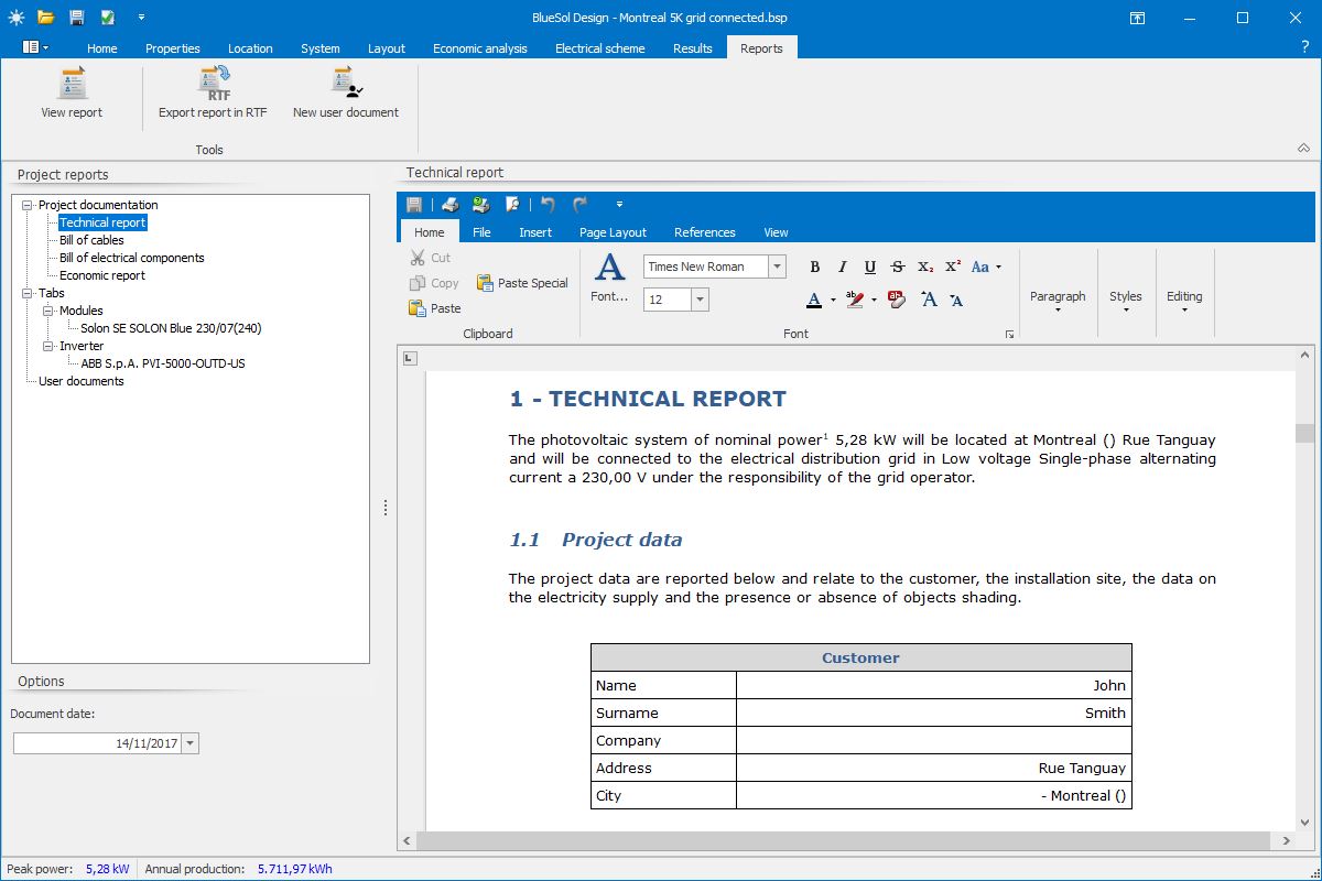
BlueSol Design generates the necessary documentation for submission of the project: technical report, financial report, final technical report, plant layout, single line electrical diagram.